The department aims to stop and reverse the degradation of Water Resources, Environment, and Natural Resources. Expected results relate to; increasing land area covered under forests and wetlands, increasing compliance of laws governing usage of wetlands and other natural resources.
Kagadi district is well endowed with rich biodiversity in terms of species richness and abundance, but as a result of increased pressure from high population and economic activities, there is rapid deterioration of the natural resources. The main challenges include environmental degradation through deforestation for timber cutting, charcoal burning, pollution of water bodies through molasses brewing, poor waste management through littering of waste such us polythene (buvera), wastes from oil exploration, medical waste consequently the quality and quantity of resources on which sustainable economic growth and poverty reduction depends is declining.
Habitat loss has resulted into the loss of biodiversity especially on the privately owned land. Land degradation through soil erosion and loss of soil fertility and productivity has negative impact on sustainable land management. Poor disposal of solid and liquid waste from industries and human settlement poses health risks.
Noise pollution is also becoming a challenge in urban areas as a result of old motor vehicle, generators, welding workshops and factories. Pollution air resulting from factories, old vehicles
Ensuring environmental sustainability is the 15th of the 17th UN Sustainable Development Goals (SDGs). The SDGs have been brought into line with Uganda‘s revised development policy framework – the National Development Plan (NDP), which is captured in the District Development Plan (DDP).
Environment degradation is a social economic problem of great concern in Kagadi District. It has affected the most productive areas of the district and of the populations. The women have been hit first and hardest, socially and economically given the social roles and responsibilities they have in the productive and consumptive areas in regard to use and abuse of the natural resources. The scenario calls for increased action by the respective sectors, in response to the need to mitigate the impact of the unsustainable of natural resources.
Environmental sustainability, gender and women empowerment as well as equity promotion are major pre-occupations in the district‘s bid to eradicate poverty. Consequently the Environment sub sector under the Natural Resources Management Department, the lead sector in sustainable development, has vigorously and will continue to vigorously pursue activities that address environmental sustainability,Measures and strengthen its capacity to enforce environmental laws, regulations and standards to guide the management of environmental resources. However, the level of compliance to these environmental laws, regulations and standards is still low, leading to misuse and degradation of the environment. This is exacerbated further by the inadequate budgetary resources allocated to the Natural Resources Management department which is about 2 percent of the district budget. There are a number of non-state key players in the sector who are augmenting the departmental resources and other activities in the sector to salvage the deteriorating environment situation.
Forests
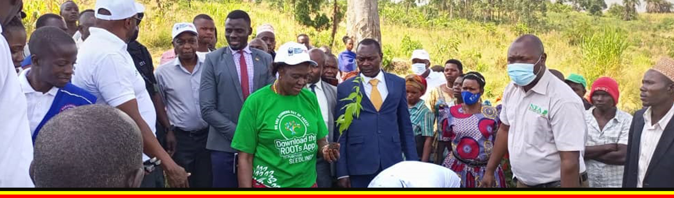
The district has 3624.5 Ha Natural Forests and 1800 Ha Planted Forests. 2424.5 Ha are central government forest reserves. These include kanaga, Ruzaire, Kangombe, kyamurangi and kasato. Forest degradation is majorly due to agricultural activities and human settlement. The District for the last 5years promoted afforestation and reforestation (planted 458, 000 tree seedlings of eucalyptus, maesopsis and grevillea, conducted trainings in forestry and wetland management, carried out sensitization meetings on natural resource management and also a total number of 4ha of degraded wetland sections has been restored. The District however has prioritized restoration measures on forest through promotion of tree planting, demarcation of wetland and promotion of environmental education campaigns. This is in line with SDG 13, 14 and 15 which state that; climate action, life below water and life on earth respectively
Encroachment Status and key Rivers protected
| CFR | Area (ha) | Sub counties | Encroachment Status | Key Rivers protected (directly) |
| Kanaga | 650 | Kyanaisoke | Heavily encroached | Kanaga |
| Ruzaire | 1,160 | Kabamba and Mabaale | Heavily encroached | Ruzaire |
| Kagombe | 11,3r131 | Kagadi, Muhorro, Bwikara and Kyaterekera | Heavily encroached | Kagombe and Muzizi |
| Kagadi | 0 8 | Kagadi | Not encroached | |
| Rwengeye | 329 | Kiryanga, Paacwa | Not encroached | Ruzaire |
| Kasato | 2,691 | Kiryanga | Not encroached | Nguse |
| Kyamurangi | 417 | Kiryanga | Not encroached | Nguse |
| Total | 8,501 |
Waste management- solid and liquid;
Basically waste management in most of the Urban Centres are managed though utilization of the gazetted dust bins in all town councils.All the three town councils of Muhoro, Kagadi and Mabaale have established dust bins on lands acquired by these urban councils for specifically waste dumping. In addition there are dust bin tank points in all areas of the town where the wastes are dumped. The points are clearly visible and serve as point where town council vans collect the wastes from. The urban centres have also embarked on proper establishment of drainage systems to avoid contamination of the available water sources.
2.5.4 Water Resources (i.e. lakes, rivers and underground water);
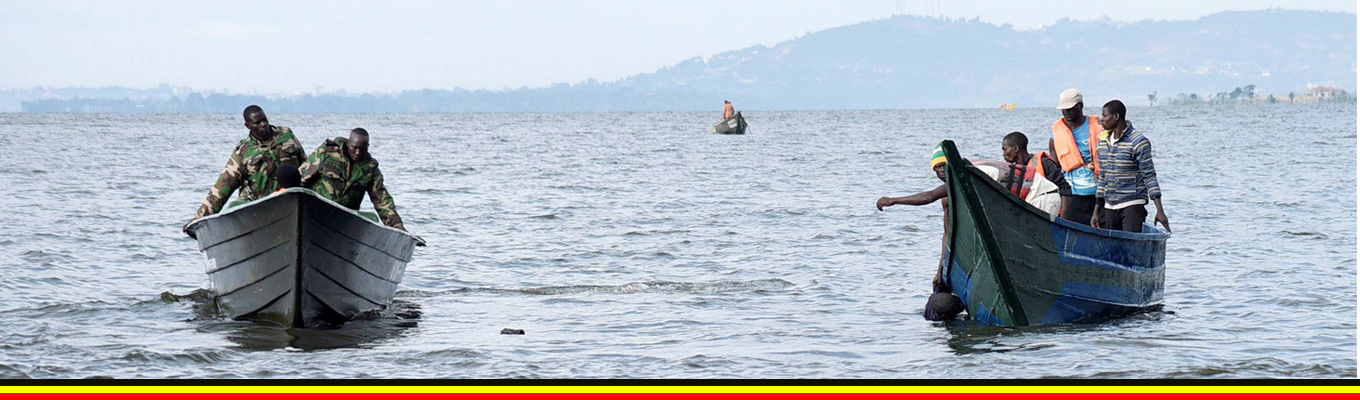
The district has three rivers that cross the district and one lake. There are some manmade ponds that are used for fish farming.
Muziizi River
Nkusi River
Ruzaire River
Lake Albert
2.5.5 Air;
The district as industrial zones have that have no clear air pollution mitigation strategies.
Lands;
The process of erosion and accumulation that acted upon the land surfaces gave rise to several types of soils inKagadi District. With exception of the lowlands which are covered by lake deposits, the soils of the district are of ferrallitic type. Productivity of these soils largely depends on favourable rainfall, adequate depth and maintenance of the humic top soil. However, some clay deep loam soils of Buyaga east are sufficiently fertile to support a diversity of crops.
There are basically 3 soil mapping units in Kagadi District namely Buyaga Catena shallow loams, Red clay loams and Brown gravelly clay loams. Shallow Loams have moderate acidity with moderate productivity and mainly support the growing of Tobacco and Cotton. In the areas of Mabaale, Pachwaand Kiryanga sub counties.
Rich soil endowment provides an opportunity for the growing of a variety of crops as already highlighted above. However there is evidence of loss of soil fertility through leaching especially where agricultural production is done in formerly forested areas. Buyaga East and Buyaga West Counties generally lack clay soils and this makes construction of brick houses expensive since such materials have to be ferried from the neighboring Counties.
Four land tenure systems; Freehold, Leasehold, Mailo and customary exist in the district with only 42.9%, 43.3% and 8.1% belonging to legitimate land owners, absentee landlords and public land respectively
: Natural Resources Analysis
| Potential | Opportunities |
| -Strong political support – how is this a potential to ENR sector -Departmental staff; Env.O,SS,PP,DFO&Ass DFO?? Not very clear may be we wanted to mean that the department is adequately staffed _ Many natural resources based development projects in the district | – -Existence of civil society networks(KSCON, World vision, world voices,CARITAS) what do these have to do with ENR -Central Government support (NEMA, NFA, UWA Etc.)ENR Sector conditional grant -Natural resources user groups Presidential directives on Natural resources protection – |
| Constraint | Challenges |
| Population explosion?? Maybe leadgin to exploitation of the wetlands -Low community appreciation towards sustainable exploitation and use of Natural resources -Community resentment -Low budgetary allocations Poorly Managed Urban solid wastes Poor staffing level due to luck of physical planners in all towns in kagadi district C | -High rate of encroachment on fragile ecosystems -High rate of Natural forest cover conversion into other forms of land use – -Unguided Urban-Infrastructure development -limate change |
Urban Development and Physical Planning
2.6.1 Urbanization
The main driver of Urbanization in the district is the booming Agricultural sector as a result of a number of Government interventions in this sector such as NAADS and OWC. There are a number of formal businesses, including, whole sale, produce, factories, agro processing plants, beverage packing factories. Urbanization efforts are planned to ensure that the wetlands and ecosystems are protected degradation during the development process as well requirements of Sustainable Development (SDG11), and the African Agenda 2063 that advocate for a well-planned and managed urbanization as a force for sustainable development. Kagadi district urbanization rate has not been matched by physical development plans since most of these urban centers began before physical development plans were drawn. The main cause is majorly due to unplanned settlements that has led to encroachment on the wetlands and drainage corridors. The current urbanization is characterized by minimal industrialization. This has resulted in rapid urbanization without the required jobs in skill-intensive and higher productivity sectors and, ultimately, extensive informality, poverty and inequality
Housing
The housing status of the district is that 68% of households have permanent structures. 54% of the houses in rural community are semi-permanent and 34% are permanent. Only 20% of the households in Kagadi district have temporary houses in the rural community. Only 10% of the households in urban centres have semi-permanent houses that are both rented and owned respectively.
Source: 2014 cencus
Physical Planning
The district has promoted a number of physical planning activities including; holding physical infrastructural sensitization meetings, approval of building plans, formulation of physical planning committees and formulation of Physical development plans for Kagadi, Muhoro, and Mabaale Town Councils and for the few subcounties of Isunga and achwa which is ongoing. The district local government is however, facing a challenge of rapid urbanization which is coupled with unplanned settlements that result into unhealthy environment. Basing on the above, the district has therefore prioritized strengthening the development of physical development plans for all upcoming urban Centers among others. This is in line with SDG 3,8, 9,11 and 16 which states that good health and wellbeing, decent work and economic growth, industry, innovation and infrastructure, sustainable cities and communities, peace justice and strong institutions respectively. The Physical Planning Act, 2010, declares the whole country as a planning area which ensures orderly and balanced development. Kagadi district has a highly enterprising growing population and is urbanizing rapidly. Seven urban councils have already been approved by central Government and rapidly growing trading centers at almost every five kilometer radius.
Below is the POCC analysis and the suggested interventions
| Potential | Opportunity |
| -Strong political support – how is it a potential to urban development -presence of active Urban and Local physical planning committees -presence of structure and detailed plans for some urban areas such as Kagadi TC, -Departmental staff;Env.O,SS,&PP – we need to qualify this more e.g. the department is fully staffed by qualified staff -Easy connectivity and accessibility in most urban areas | physical planning laws and regulations sophiscated tools and soft waresE.G auto card. Arch card ,GPS,SSPS,Epidata– We need to qualify this more, how are these opportunities e.g. we can mention that they aid in development of the physical plans or approval of the plans –Many natural resources based development projects – how is this an opportunity for urban development -Existence of civil society networks(KSCON, World vision, world voices,CARITAS) – DO these support urban development if make a mention -Central Government support (World Bank, NEMA, MOH Etc.)–we need to qualify this more to show how this is an opportunity e.g. government may be providing a grant e.g. through DDEG for physical planning or providing technical assistance to LGs in urban development -well cordinared groupse.g Makerere University Physical planners Association, Uganda Physical Planning Board and Association – may be we need to show that these support opportunity for sharing ideas and learning -many infrastructure development partners e.g Muzizi Hydropower project |
| Constraints | Challenges |
| -Sprouting of urban slums -Low community appreciation towards the need for physical planning -Climate change – how is this a constraint to urban development -Community resentment – how is this different from low community appreciation -in adequate funds -some Urban areas luck – incomplete -Encroachment on green belts against the set buffers on physical plans -un computable land uses -Poor staffing level due to luck of physical planners in all towns in Kagadi district | -un controlled urban settlements -Poor developments control methods – -Luck of development guiding tools i.e structure and detailed plans in all town councils expect Kagadi -Poorly Managed Urban solid wastes -Unguided Urban-Infrastructure development |